English
 Français
  Italiano
  Deutsch
 -
FURNITURE
Featured item
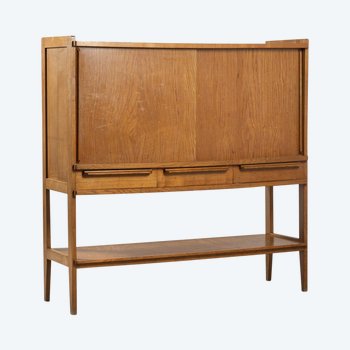
 Oak sideboard, 1950
2.400 € EUR
Oak sideboard, 1950
2.400 € EUR
-
Featured item
Napoleon marble inkwell, 19th century
450 € EUR
-
Featured item
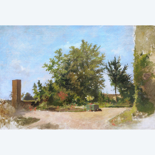
FRENCH SCHOOL circa 1900, Sunny garden
3.500 € EUR
-
Featured item
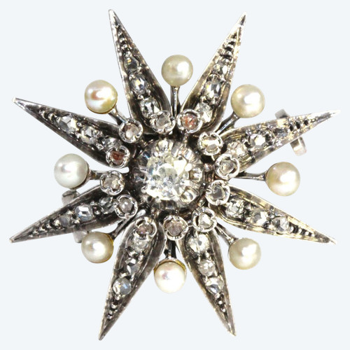
Napoleon III Brooch Pearls and Diamonds
1.450 € EUR