Handatlas de Andrees Collection of maps in German language Atlas from 1899
slider-bg
more images

Would you like more images?

Handatlas de Andrees Collection of maps in German language Atlas from 1899

19th century
Other style
DELIVERY
From: 47140, TRENTELS, France

Change your address to get an accurate estimate of shipping costs.

    Item offered for sale by

    See the gallery
    This description has been translated and may not be completely accurate. Click here to see the original

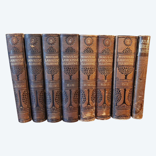
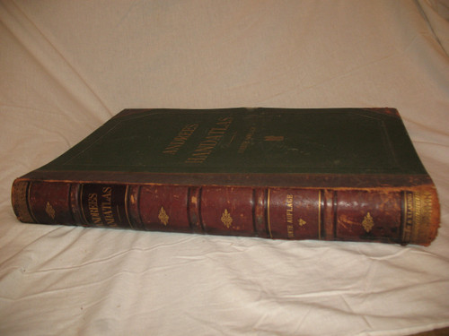
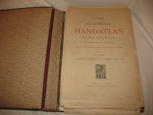
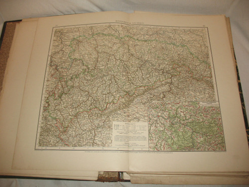
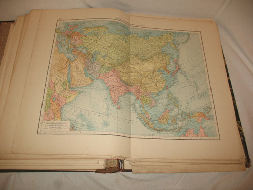
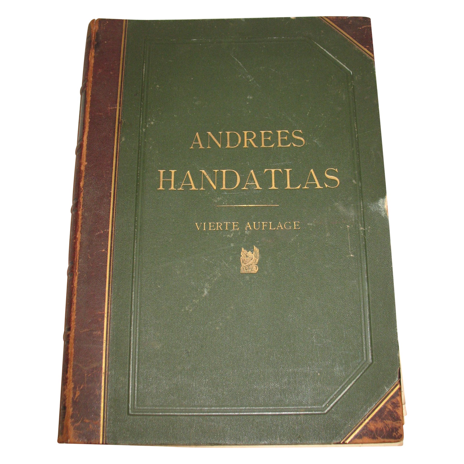
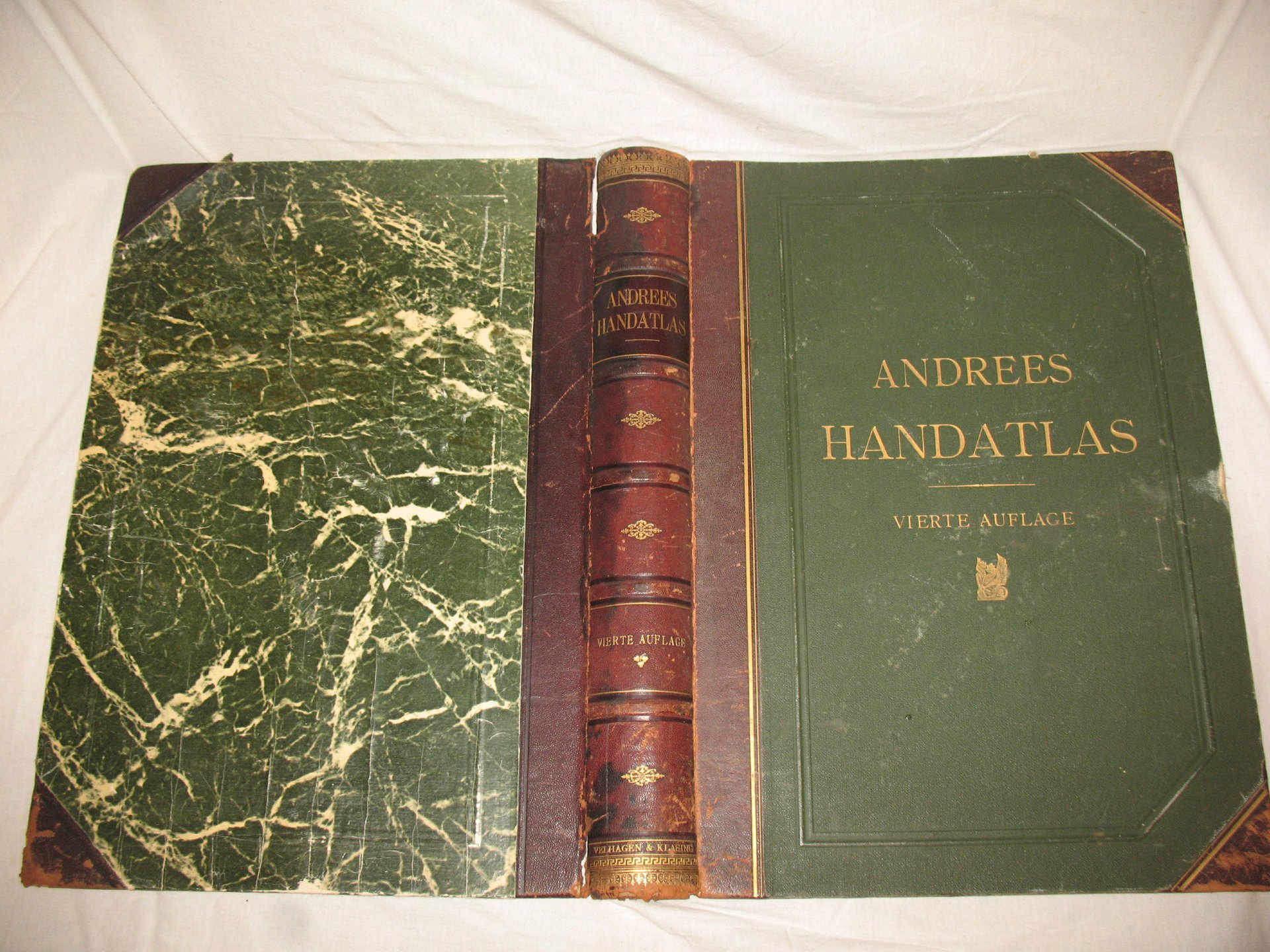
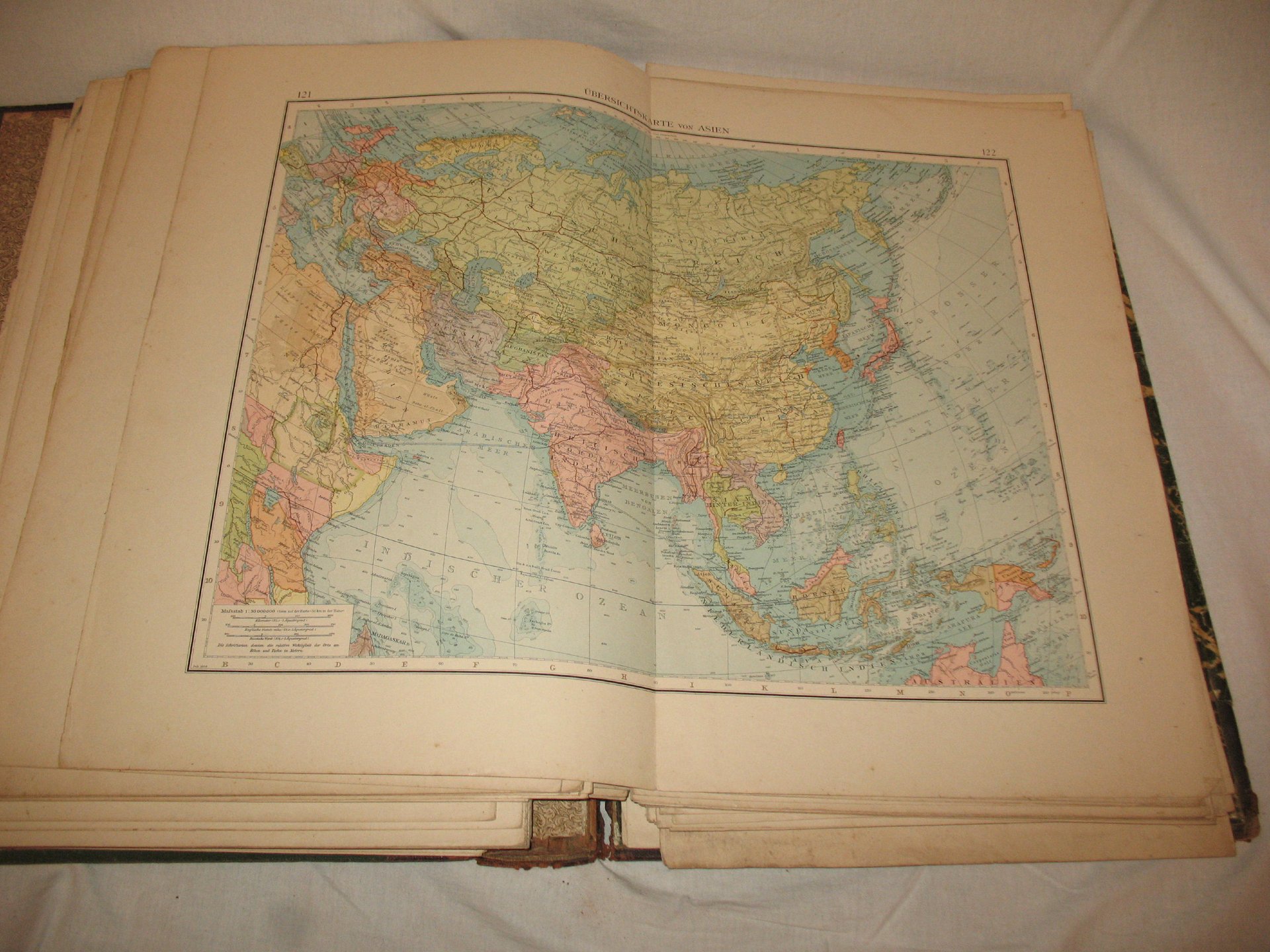
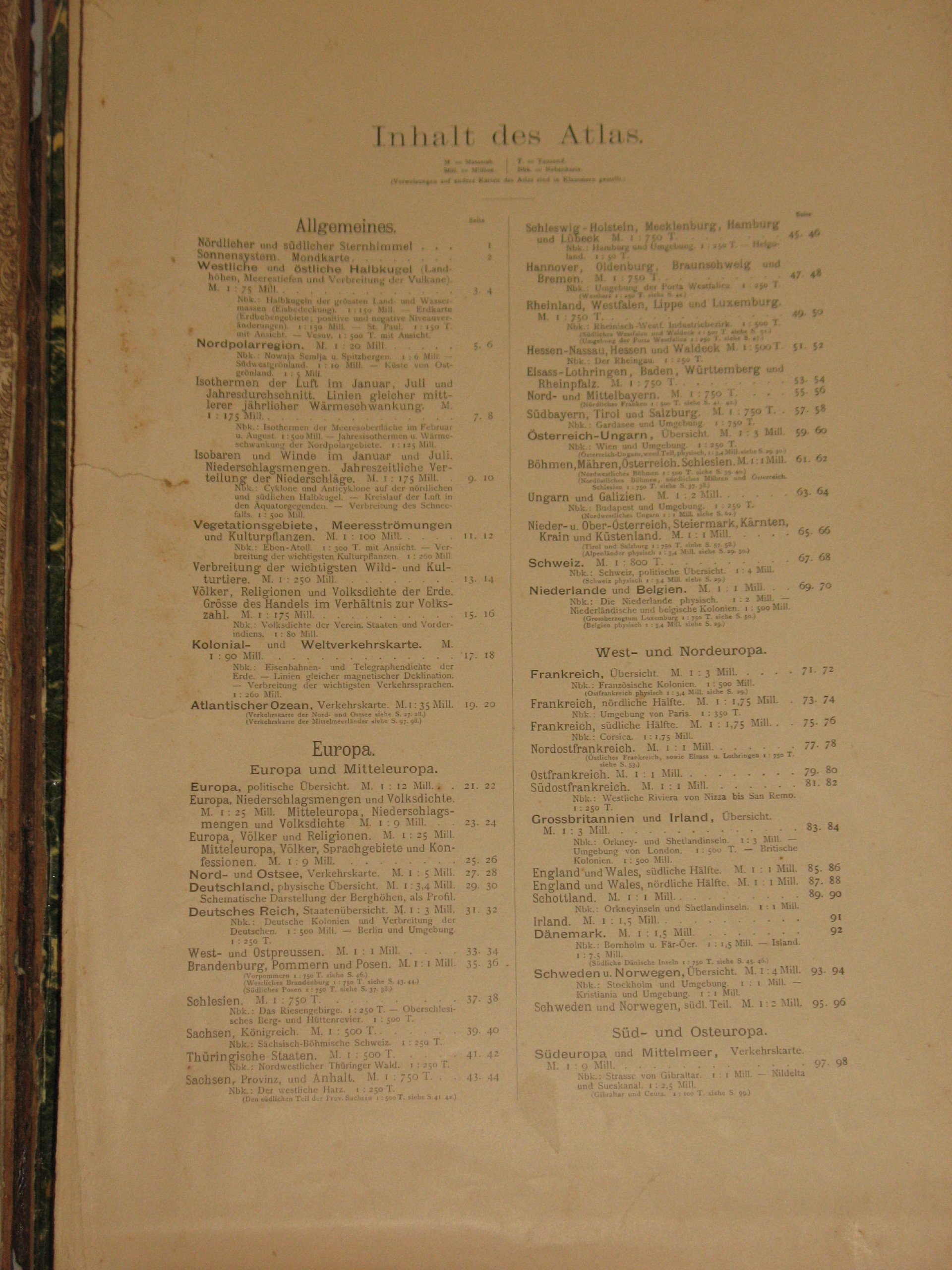
    Handatlas of Andrees
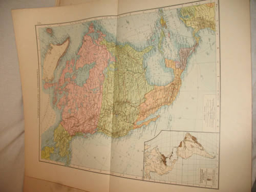
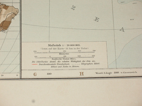
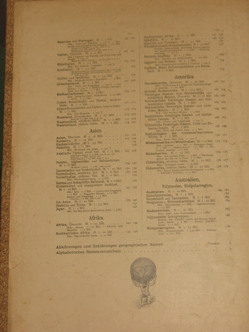
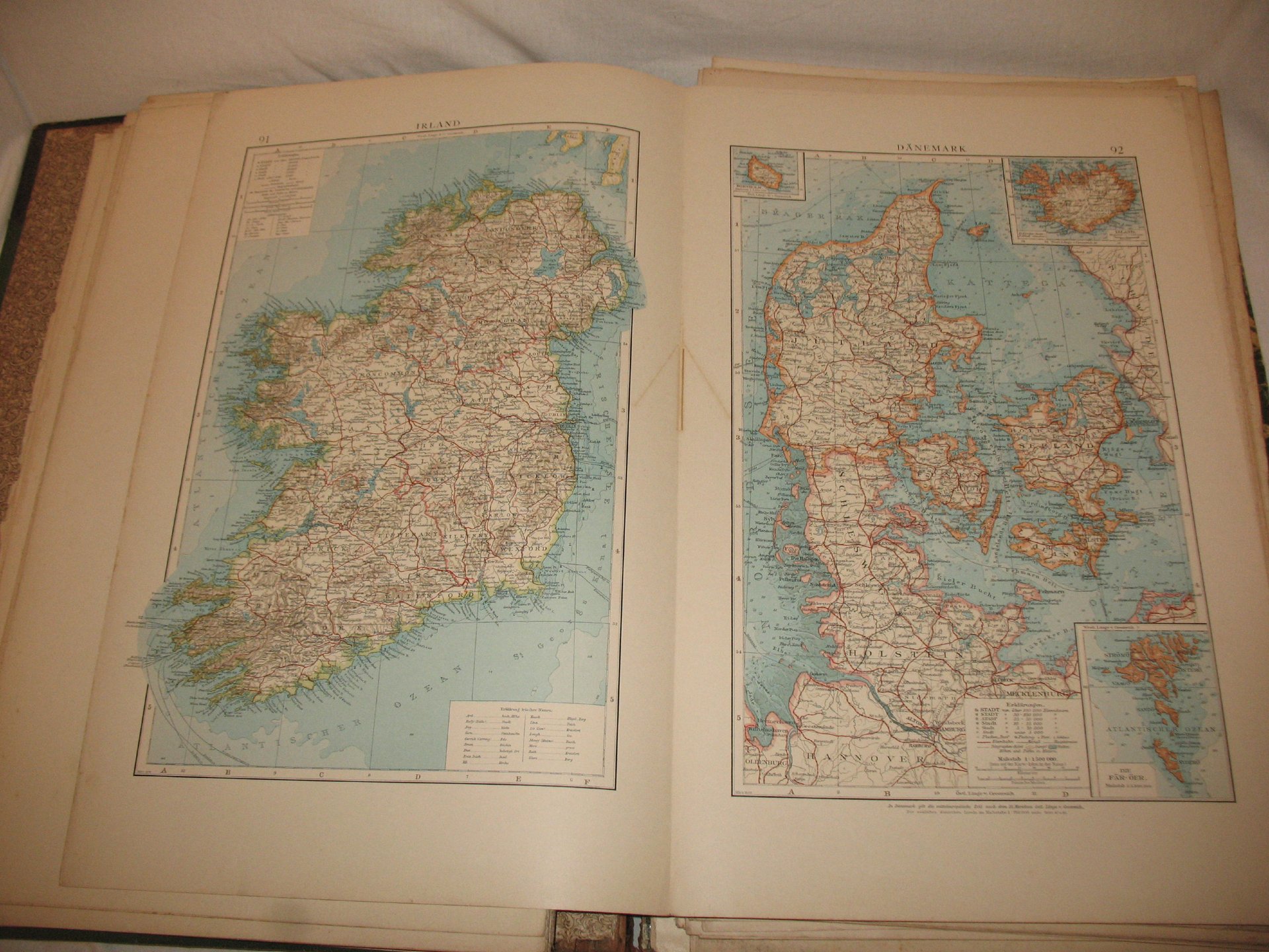
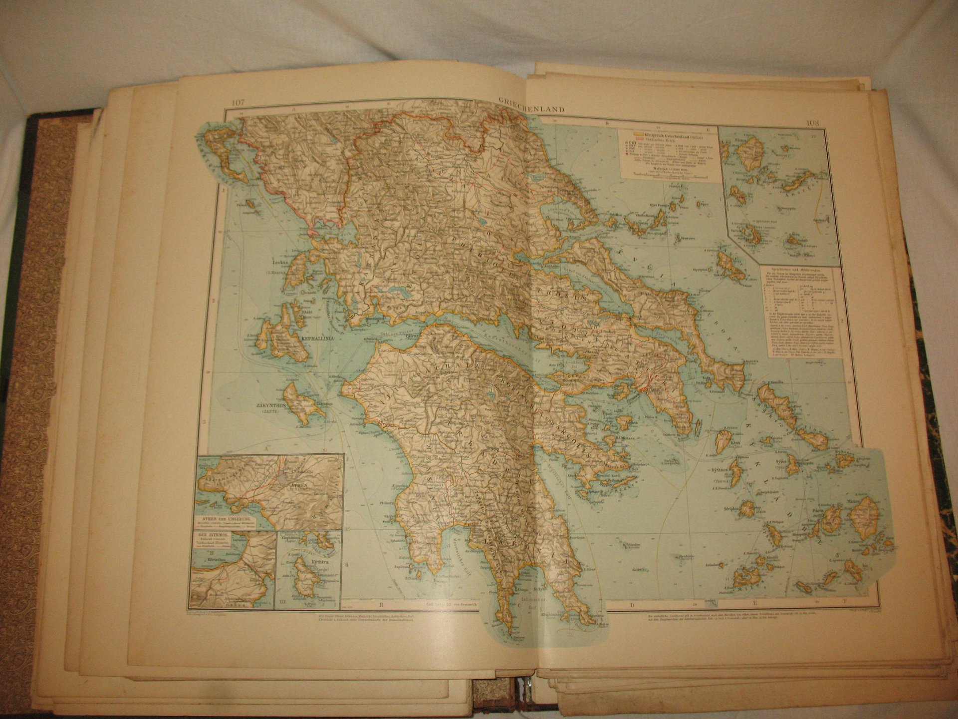
    Collection of maps in German language dated 1899
    Including 126 in plano cards and 137 side cards
    4th edition of A. Scobel in Leipzig
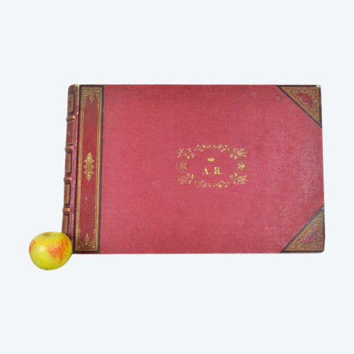
    Drawing board type binding in strong cardboard with leather back and gilded letters in used condition
    Interior with original unbound cards
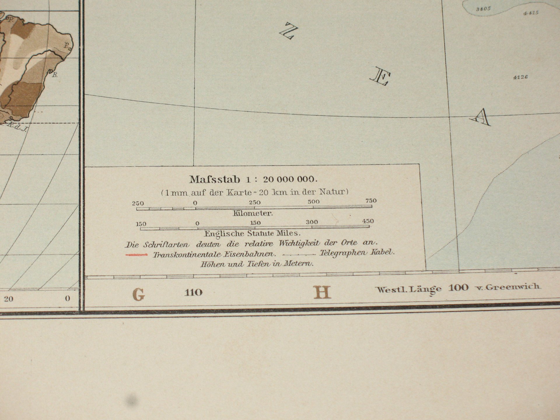
    Very fresh colors
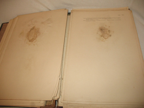
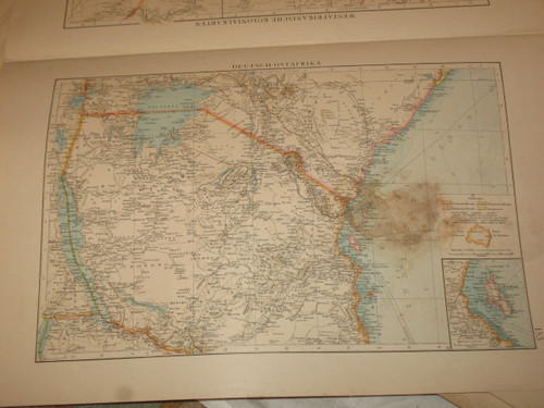
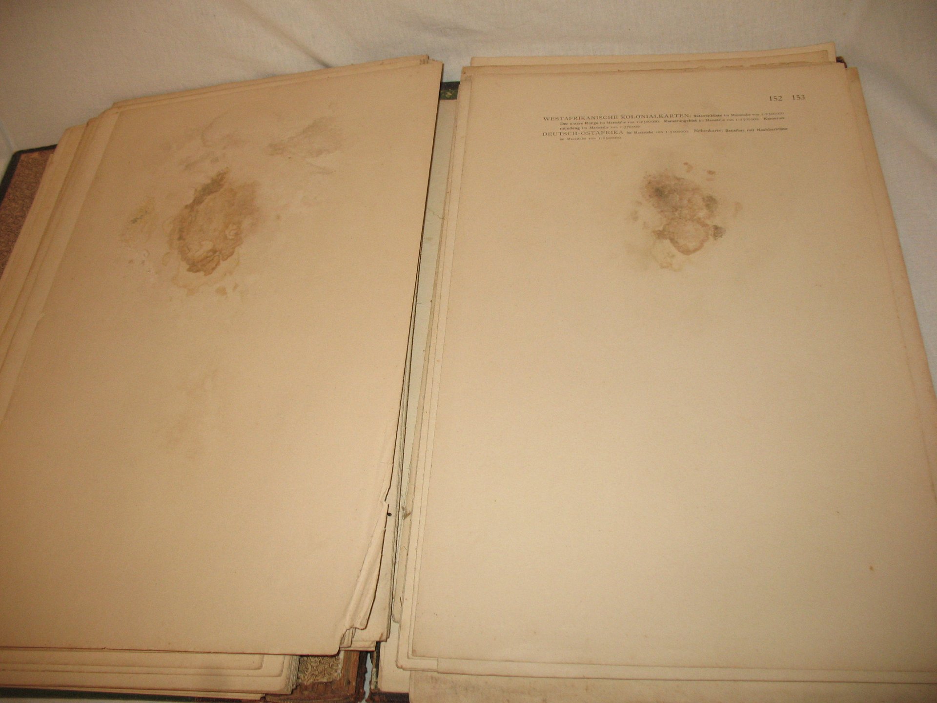
    Missing 2 sheets (Africa) and traces of watering on 3 maps
    d: 49 x 35 cm th: 6 cm

    Ref: SS0LUNWD0M

    Condition Good
    Style Other style (Old maps of Other style Style)
    Period 19th century (Old maps 19th century)
    Country of origin Germany
    Artist Andrees
    Length (cm) 49
    Width (cm) 35
    Depth (cm) 6
    Materials Paper
    Shipping Time Ready to ship in 4-7 Business Days
    Location 47140, TRENTELS, France
    Antikeo Buyer Guarantee

    4 commitments to buy with confidence

    This site uses cookies. By continuing to browse the site, you are agreeing to our use of cookies.