English
 Français
  Italiano
  Deutsch
 - FURNITURE
-
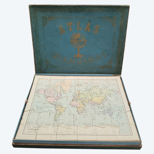
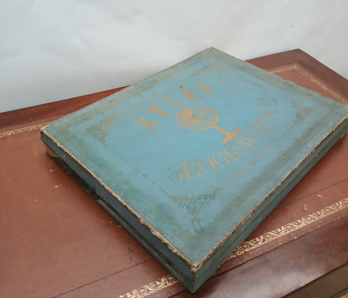
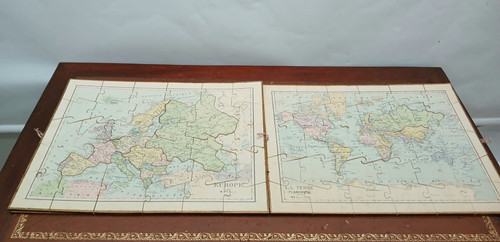
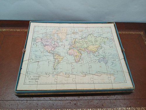
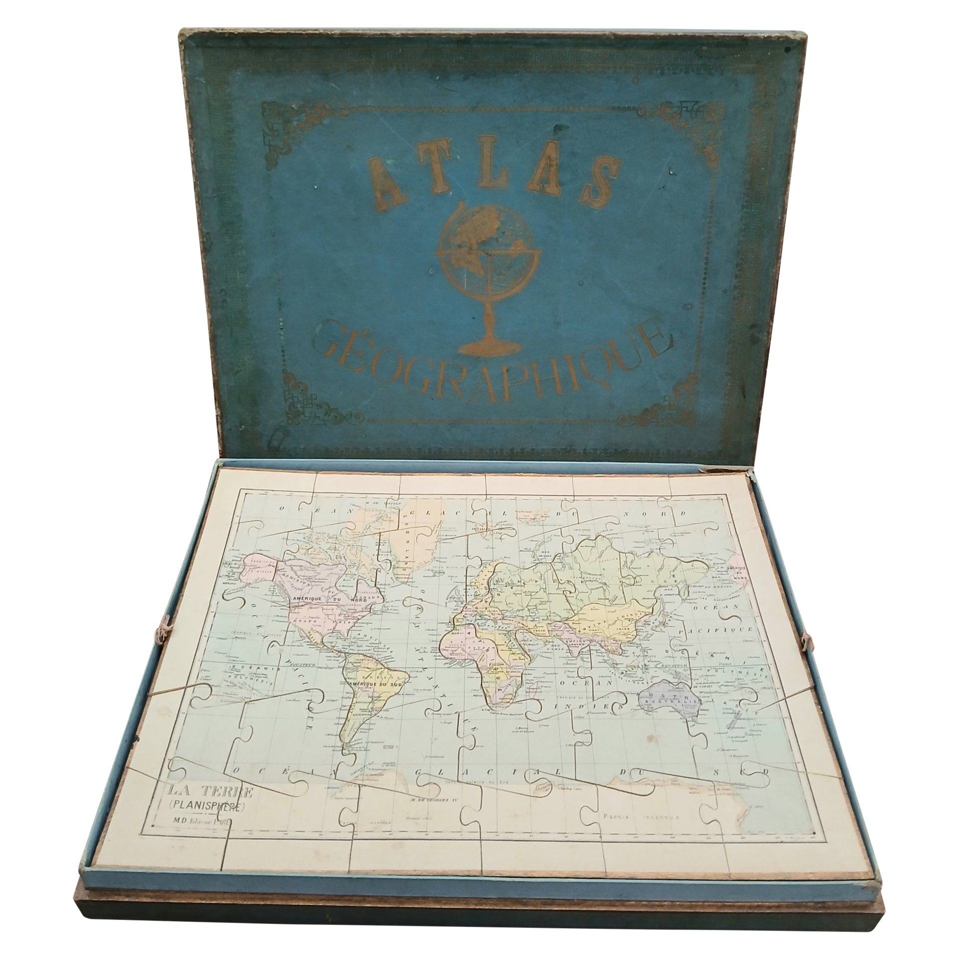
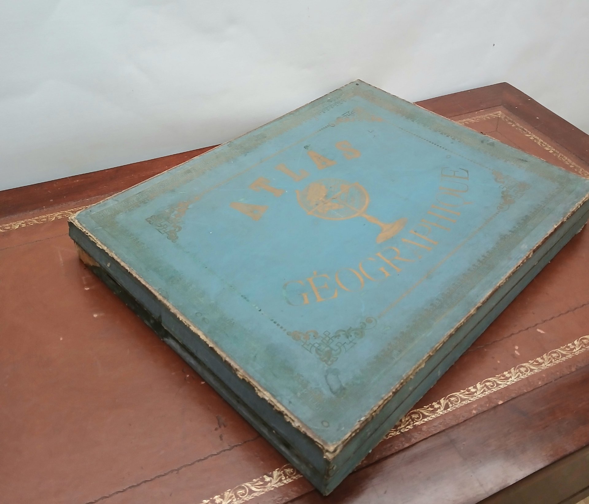
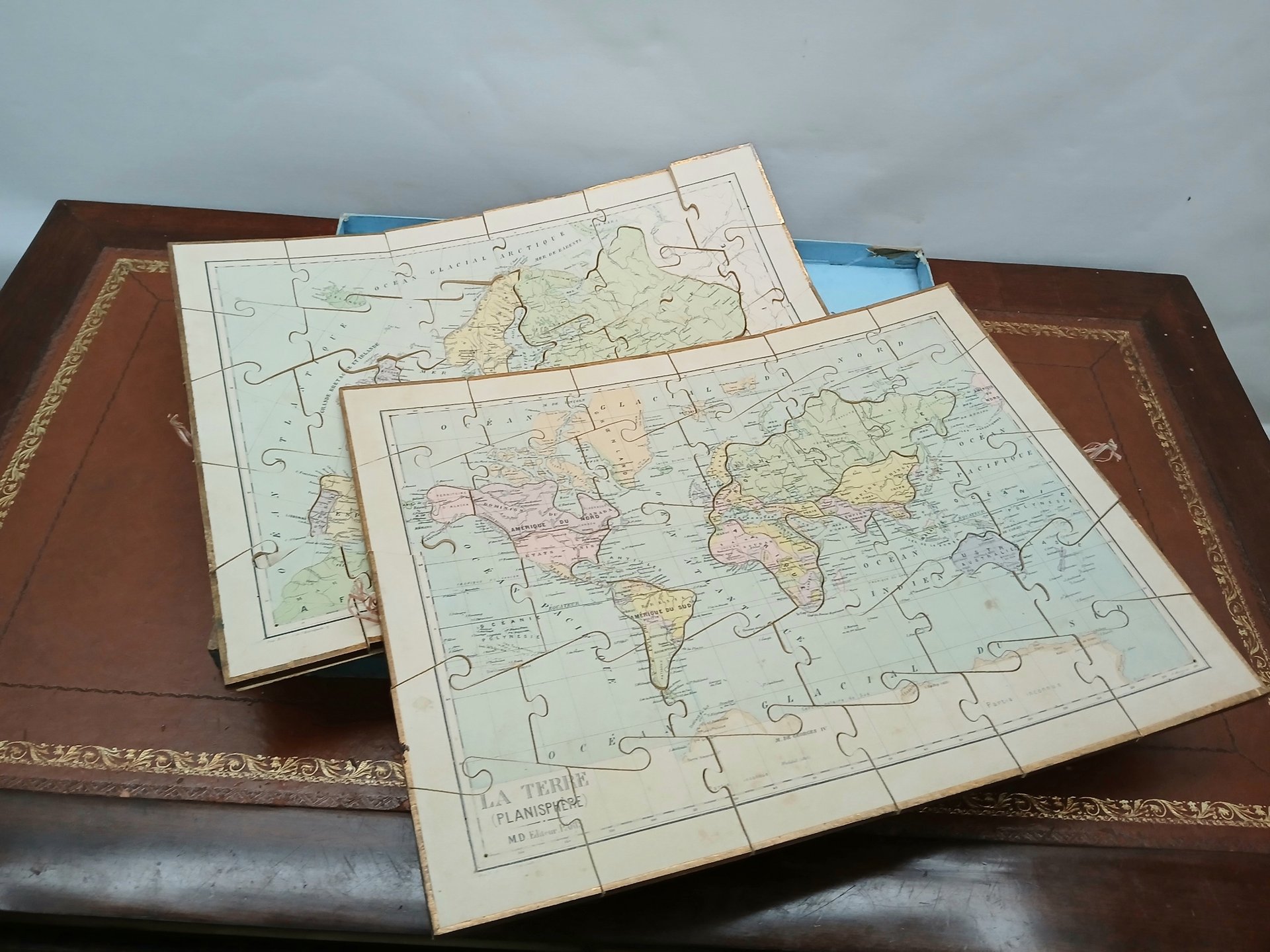
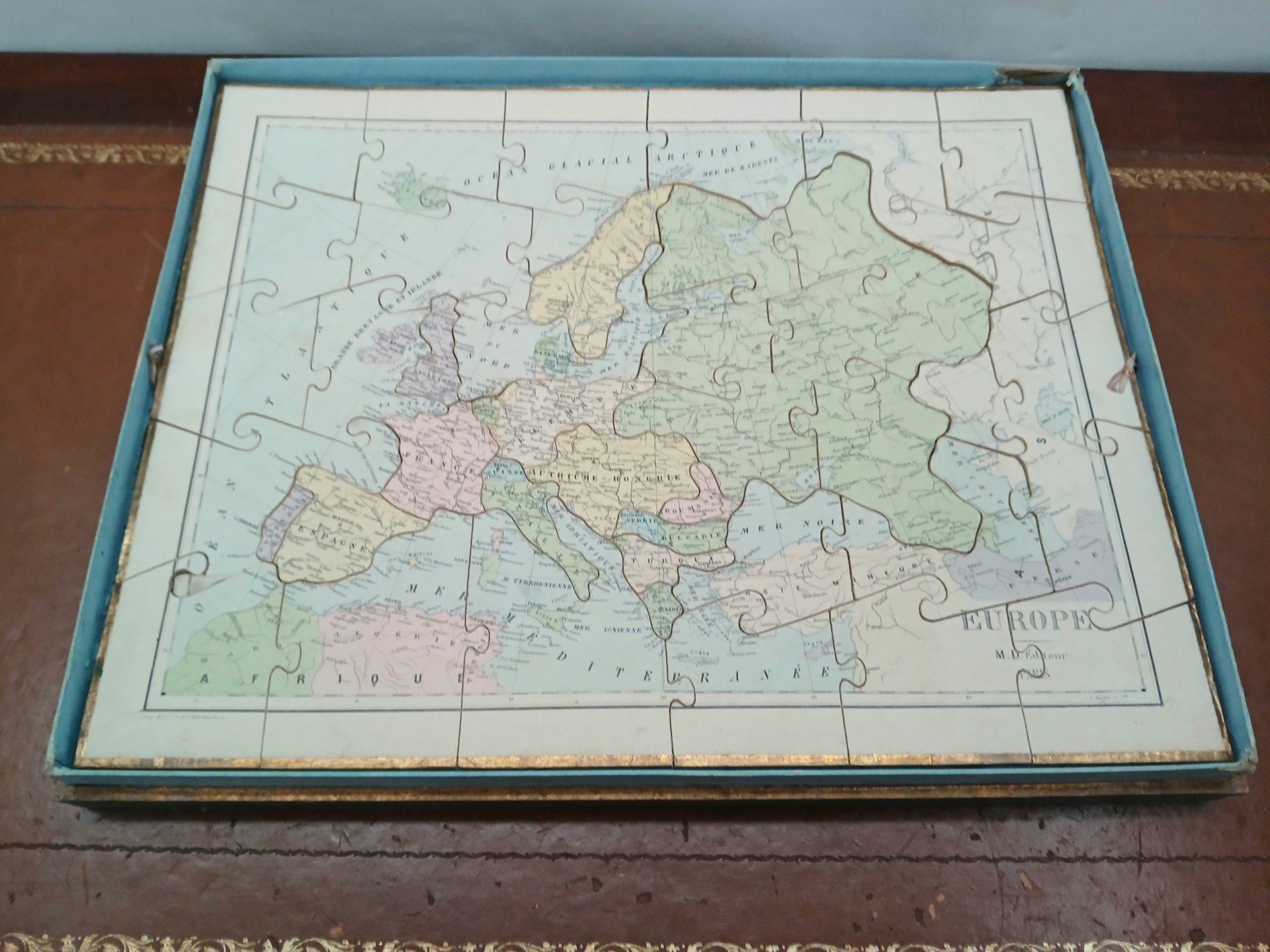
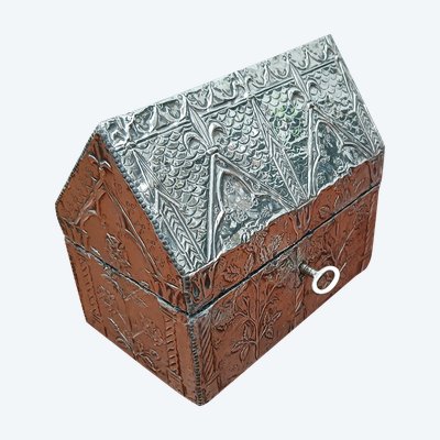
Featured item
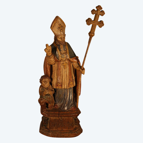
 Saint-Claude 17th century
1.100 € EUR
Saint-Claude 17th century
1.100 € EUR